As my advisor stated, “Katie wasn’t supposed to come to the Arctic.” Indeed, he was correct – my former project had me slated to stay stateside.
Yet, fortunately, this was not to be the case. Despite learning that mosquitos are so abundant that they sound like rain as they pelt your bug jacket, I was enticed to come here by this one simple tidbit of knowledge: Arctic terrestrial ecosystems comprise about one third of the global terrestrial ecosystem carbon total.
However, the aforementioned statistic is only an approximation of the carbon storage; therefore, the goal during this brief sojourn in Siberia is to obtain a more precise measurement of the carbon in this area. Ultimately, we desire to know how carbon changes (fluxes) over time, but prior to this, we need a thorough accounting of the carbon stocks. This accounting is done through the terrestrial survey.
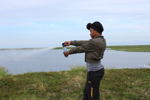
Instituted in 2011, and annually amended since then, the terrestrial survey seeks to measure terrestrial carbon stocks in northeastern Siberia. This year, the focus of the terrestrial survey is in a small catchment of the Kolyma watershed named Y4. The Y4 watershed is a short jaunt from the Northeast Science station, and is representative of the larch-dominated Arctic terrestrial landscape.
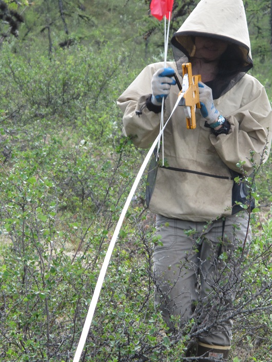
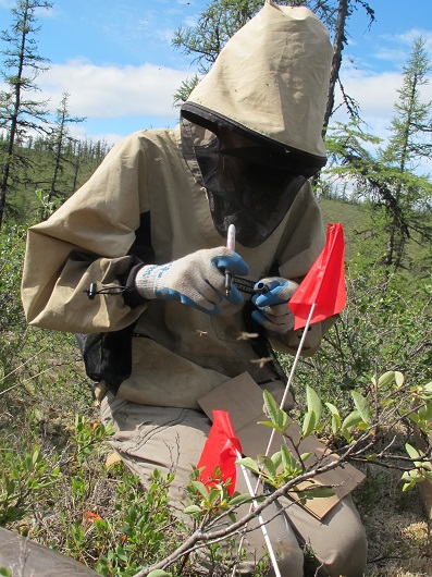
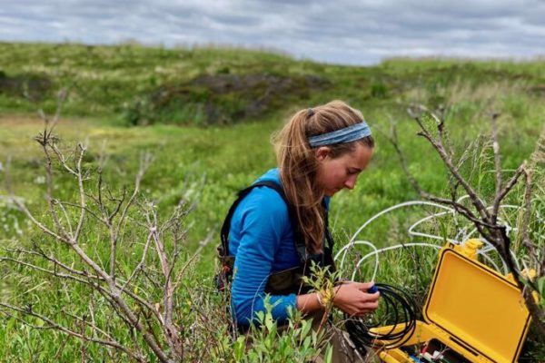
Within the terrestrial survey, a multitude of measurements are taken to quantify soil and vegetation carbon storage. Such aboveground measurements include determining the diameter of trees and snags within the site, making vegetation percent cover estimates, and counting the intersection of woody debris along each of the three 20 meter long transects. Percent cover estimates entail a careful estimation of the multi-colored lichens, mosses, shrubs, herbs, and litter present in the site. The belowground carbon storage is determined by manually extracting a total of six soil cores within the site and then performing further analysis in the laboratory. Roots, organic soils, and mineral soils- all of which have variable consistency and color- are partitioned in the laboratory. Utilizing both the above- and belowground calculations will ultimately enable carbon storage to be estimated in this catchment. Furthermore, as canopy cover will be assessed in each site, the hope is to link canopy cover estimates to satellite imagery.
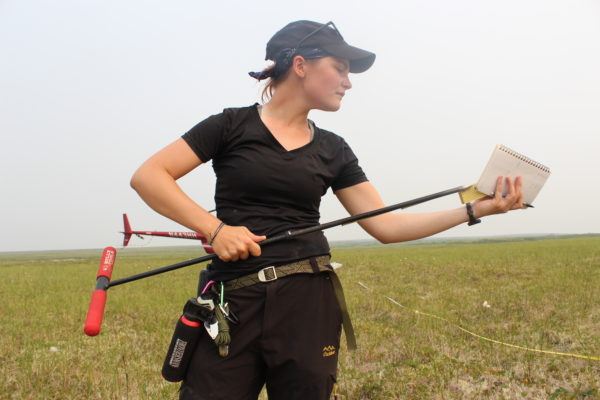
At the moment, five yellow notebooks are filled with data that will eventually be summarized, analyzed, and converted via calculations. These calculations will provide a value of carbon that exists in the trees, shrubs, plants, and soil in this small catchment in Siberia. In time, the desire is to predict how the carbon is likely to change as vegetation shifts, permafrost deepens, and the Earth responds to climate change.