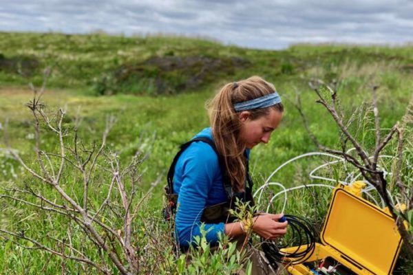
Today we took the inflatable boat out on Such’ye Lake, which is about a kilometer from the station. First part of the day was spent taking optical measurements using the BIC, then taking various readings with the CTD and YSI such as temperature, depth, conductivity, pressure, pH, and dissolved oxygen. We also found a level logger that has been set out for three years, but due to either debris or sinking into the bottom we could not raise the milk crate that holds the logger. Soon we will try a rake to get a better grip and see what it tells us for level changes. Other notes of interest are conductivity and pH measurements which decrease steadily but then rise about 2 meters before the bottom of a 7 meter section of Such’ye Lake. Various ideas have been talked about as to why that is the case, but further testing will show us if that is a common occurrence across the lake or just localized.
The most exciting part of the day was setting up the side scan sonar. Just making a quick 40 minute motor around the lake to our surprise mapped the bathymetry of almost the entire lake. The sonar has a wider recording angle than previously thought. Now we have the ability to map the lake bed in 3D, see where surfaces are harder material or softer, and correlate bottom conditions with where we want to sample. This gives us insight which we previously did not have and can lead to some potentially interesting correlations in understanding lake biogeochemistry.