Hi everybody! Sorry it has taken me so long to get anything posted on here; we had no internet for the first few days and now the internet we have is only marginally functional at best. So here some updates and photos of what we have been doing since leaving the United States on July 1.
Travelling:
If I’m doing my math correctly – and there is a reasonably high probability that I’m not, considering how many time zones we crossed – we spent close to 30 hours actually in airplanes flying most of the way around the world. My route began at the Bellingham airport, and from there we went to Seattle, then Washington D.C. and Moscow. We took a break from airports in Moscow, staying overnight and even getting a chance to go see Red Square. Moscow is a beautiful city; I’m excited to be able to see more of it on the return trip.

Allison lounges on our carry-on luggage while we waited for our flight to Yakutsk from the Vnukovo airport in Moscow. © Becky Tachihara
The following day we were off again for our final two flights: Moscow to Yakutsk and Yakutsk to Cherskiy. I don’t remember most of either of those flights because I was asleep for most of them, but the scenery was beautiful, and on the Yakutsk to Cherskiy flight, Kate somehow managed to get the captain to let us all up to take a look inside the cockpit. That was definitely a travel highlight I will remember forever…and there’s no way that would ever happen in the U.S., which makes it even cooler in my opinion.
Arrival and first impressions:
When we finally arrived in Cherskiy and made our way out to the Northeast Science Station, everyone was exhausted from travelling, but so excited to finally be in Siberia that it didn’t even matter. I remember looking around, almost dazed, thinking, “I can’t believe I’m really here…” From that moment on, things have been moving at warp speed.

Students and PIs talk about their plans for the day before heading out to collect data and samples in the field or do analysis work in the labs. © Becky Tachihara
We got all of our things moved into the barge – yes, we are living on a barge on a river in the Siberian Arctic; be jealous – and even as midnight approached after days of non-stop travelling, the barge was buzzing with conversation. Students and PIs (primary investigators – the professors and professional scientists who lead the Polaris trip) sat in the barge’s common area discussing science, language, various qualities of Russian beer and anything else that came to mind. As tired as we all were, this was the start of an adventure that will stick with us for the rest of our lives, and we wanted to get going.
Science and swimming and bugs, oh my!
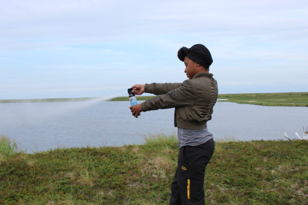
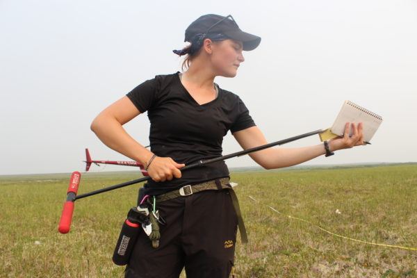
As our second day in Siberia dawned – metaphorically I suppose, since the sun doesn’t actually set – and we were all finishing up the breakfast prepared for us by our fantabulous cook, Valentina, the students were asked to define the projects that we would be working on for the next three weeks. As the day wore on, words like “limiting nutrients,” “DOM,” (dissolved organic matter) and “striation,” were dropped into conversation more and more frequently. Now that we have been here for a week, the science flying around is almost palpable.

Anya fills a one-liter bottle with water from a stream called Y4. The “Y” stands for yedoma, The “Y” in Y4 stands for yedoma, a Russian term for the very old (tens-of-thousands of years), thick, carbon rich soil over which the stream flows. © Becky Tachihara
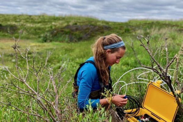
Every day after breakfast, group disperses to various field locations and labs where they will work on their projects. We have people studying lakes, streams, trees, soil and everything in between, and I have been trying to follow a different group to a different place every day so I can get a good feel for what everyone has going on. The science people are doing here is fascinating, and I can’t wait until I can start interviewing people and begin to put together a story.

Ludda gives Eli a back rub in Orbita while waiting for the PIs to give a lesson on how to use some lab equipment. © Becky Tachihara
Outside of the hard work everyone is doing for their projects, we still have time for a little fun. We have been playing board games or having sing-alongs or just hanging out and talking every night when people come back to the barge, and in the afternoons, we usually go swimming. Yes, I did say swimming. In the Arctic. I feel that many of you are fairly confused by this point. Believe it or not, it is actually quite warm here, and a dip in the Panteleikha (the river where the barge is moored) is very refreshing after a long day of hot, sweaty, buggy fieldwork.
The one thing that really has the ability to put a damper on everything we are doing here is the mosquito population. On cooler, windier days the bugs are not too bad, but if it warms up and the wind stops blowing, the mosquitoes will descend upon us like a buzzing, biting cloud of misery. (For a fuller description, check out Dallas’ journal on this subject.)

Sam Dunn collects soil cores from terrestrial survey plots. In the lab, he will test the samples and use the data for his student project. © Becky Tachihara
But even the bugs cannot put a damper on our sprits for too long. Just the fact that we are here in Siberia on a once in a lifetime journey doing groundbreaking science overrides any short-term discomfort from heat or bugs. This place is like nothing I have ever experienced, and I can already tell that this month is going to go by much too quickly.