“A map does not just chart, it unlocks and formulates meaning; it forms bridges between here and there, between disparate ideas that we did not know were previously connected…”
-R. Larsen

The last 3 weeks for me have been a whirlwind of mapping and on-the-fly spatial analysis. In a geospatial sense, our tundra expedition had landed in almost completely uncharted territories. There was no pre-existing digital spatial information for the immediate area surrounding the barge. I had brought along satellite derived elevation data and imagery, generously provided by the folks at the Polar Geospatial Center (http://www.pgc.umn.edu/), and our Russian colleagues had a wealth of local anecdotal knowledge based on years of experience traveling and living in the region. But besides these bits and pieces, the slate was clean. It was new to me, it was new to all of us, and probably most important, it is almost completely new to international Arctic system science.
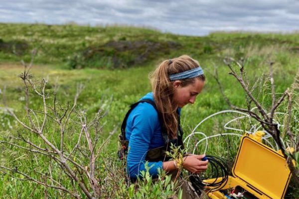
As student research and exploration began on the tundra, the demand for maps and spatial information also grew. There were many late nights doing GIS work and bringing maps and data up on the computer screen. Normally, doing ‘work’ at this rate and at these hours would be difficult and, well, considered work. But on the barge it was different. It was inspiring, entertaining, and challenging.
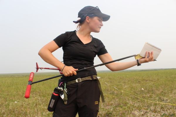
Collectively, we’ve acquired hundreds of GPS points on the trip. And we’ve amassed an impressive new dataset. Over the next few weeks, I’m looking forward to expanding our tundra base map, linking the results of student research to the now, georeferenced field points, and telling interactive stories of our time on the tundra in both web and print-based formats. So stay tuned for updates to this and other tundra related Polaris Project cartographia…